 It has been mentioned that by June of 2010 will be available ArcGIS 10, which as we see will be a significant milestone recognizing ESRI level position in the geospatial field. Already in forums and other places it has been commented a lot, and surely from here to the User Conference in July, we’ll know much more.
At common question level gradually ESRI will clear things that can not be short term, and setting off comparative advantage of what it means a pretty big change.
Already ESRI has confirmed, can not coexist on the same machine ArcGIS 9.3 and ArcGIS 10, unless it’ll be in a virtual drive type VM ware’s VM Workstation or Microsoft’s Virtual PC.
Also in cons are mentioned that not will give continuity Survey Analyst, which seems will be at versions 9.3 level, only Parcel Editor will go on; this will be part of ArcEditor and ArcInfo.
Draws attention a tool called ArcPy, which runs geoprocesses on Python. And is with this toy that it may be possible to prevent breakage of links, as now happens with an .mxd and a .lyr, which can have referenced files, but there is no control in case of removing or dislodging. With this you could repair broken links and get layers reports referred to the mxd and its attributes deployment.
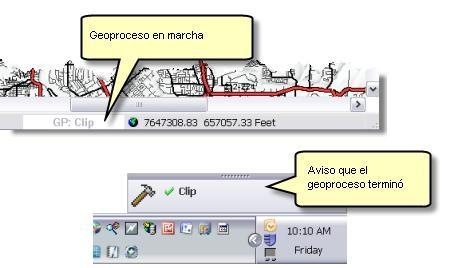
The best is the leveraging of geoprocesses in the background. This leaves us to continue working and tell us when the process is completed.
At spatial databases level, we are pleased to know that is maintained PostgreSQL reception. Although they don’t clarify whether they improve the search capability, noting that the search’s novelty is to a small amount of metadata, but not to improve the search indexing within the data.
| SQL Server 2008 | Geography Geometry |
| Oracle | ST_Geometry SDO_Geometry |
| PostgreSQL | ST_Geometry PostGIS |
| DB2 | ST_Geometry con el Spatial Extender |
| Informix | ST_Geometry con el Spatial Datablade |
At building level data stands out 3D work. Here they promise that editing spatial attributes will be available both for ArcGlobe and ArcScene: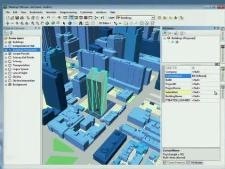
- Start editing functions, stop, save, undo and redo. Of course, those with snapping style CAD platforms to create not only precise but practical functions.
- Creation of individual attributes, which includes vertical lines storage in the geodatabase.
- Ability to bring 3D models, like COLLADA, directly to the 3D view, with options to copy, move, rotate, with CAD’s style.
- Then also provide management of field data sets, such as LIDAR point cloud and editing TIN data sets from ArcMap.
- Here I leave a link to the video demonstration of 3D capabilities. It looks great.
What else? It’s good to take a look, I recommend the help, but if you want to see in a few minutes the novelty of the change, the videos are very practical. Here are some links.
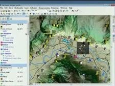
| Usability. It looks very practical the catalog from ArcMap’s side a simple drag and drop. Also the way of locating tabs on the sides is much better. |
 |
| GIS Server. It does not look bad, to make mashups or Internet portals. | 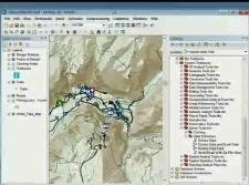 |
| Controlled maintenance flow. This is very interesting, for editing data, with topology control and multiuser transaction. | 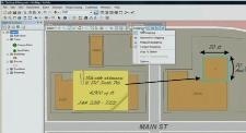 |
| Data Analysis with ArcGIS 10. It seems that the best of ESRI will be geoprocessing handling. And it seems that the equipment can perform better at data cache level. Although no one yet knows for sure about 64 bits support. | 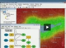 |
| Image Analysis | 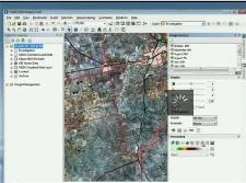 |
There will also be free seminars, scheduled for April 29, May 13, May 20 and June 17.
 Autocad Software, Bentley Microstation, Gis Google Earth, Gis System Geomate Provides Services For Complete Gis Software And Solutions, Autocad Software, Autocad Courses, Bentley Microstation, Microstation Software, Gis Google Earth, Open Source Gis And More.