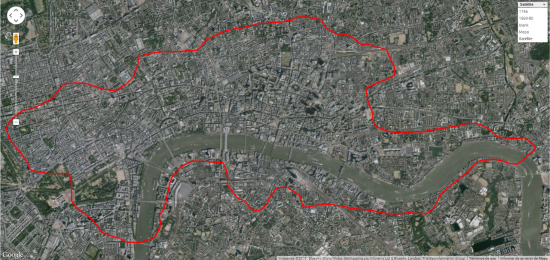
Perhaps we never dream to see one day a historic map, mounted on Google, such that we could know how it was 300 years ago the land where today we stand.
The web maps technology has allowed it. And indeed, in what way.
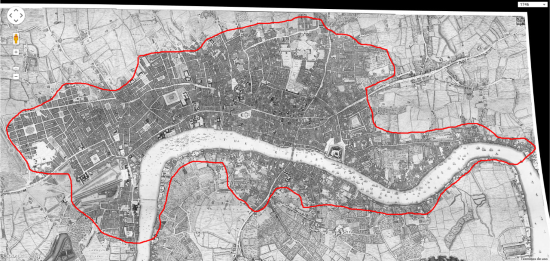
An example of this is the London nostalgic map shown below, where they have not only made public a cartography of 1746, but have also informed the methodology followed to fit it with cadastral maps of more than two decades.
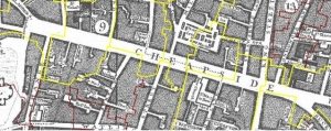
It’s definitely an exemplary work, in which has been used maps of periods between 1869 and 1890 that surely were done in paper, these have been scanned carefully to keep the detail level, which in those days was an art definitely.
As a further result, it is likely to do things like this. It surprise us to note that, where it is now the center town, one day were estates clearly defined in the old cartography.
 To integrate this work, after the scanning, they have had to do a link job where frequent individual overlap errors in each sheet, are almost impossible to detect. This is not so easy, since passing time make the sheets become deformed, added to what happens when the work is scanned.
 Then they have done hundreds of known points’ collection in field, separated by each of the maps.
When we work with a large quantity of maps from a wide area that have been surveyed with older methods, creates different problems as rotation or georeference, such that, stretch one side derange the other, even within the same sheet.
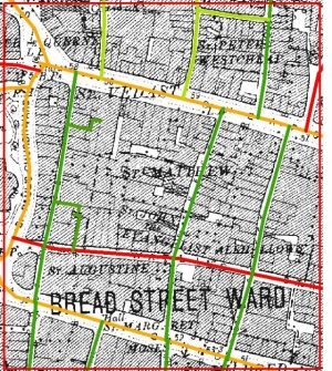
For this, they have made the streets axes identification to complete a network topology with which stretching the image can be done in a differentiated way.
 Thus, using a forensic method, when stretch, the map has accommodated as closely as possible as if it were an ortho-referenced map.
All areas that have currently been transformed constitute an interesting problem, an example of this case are the railway areas, where it is impossible to determine known points. For this they have resorted to a method somewhat difficult to understand fully, generating buffers from the street axes, and taking into account via widths used in those times. And with this they have achieved an even more accurate transformation.
In conclusion, a great example of what is possible using the available technical and technological capacities. And a great regret to those who have sent to the bathroom cellar those maps which were surveyed with empirical methods, but whose historical value we are not able to appreciate… for now.
 Autocad Software, Bentley Microstation, Gis Google Earth, Gis System Geomate Provides Services For Complete Gis Software And Solutions, Autocad Software, Autocad Courses, Bentley Microstation, Microstation Software, Gis Google Earth, Open Source Gis And More.


