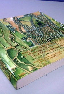
Long trip, for three days I have been touring with succulent creoles meals. Finally back, many unread mails and the new 12.2-megapixel Kodak camera going very well.
Here I leave some readings and news of interest:

Bentley extends interoperability to FME.
Very interesting, Bentley Map has integrated the chance of interacting data via ETL from Safe Software. With this, it can be read over 250 formats, CAD, GIS, raster and database. The novelty is not so much for Bentley users, but for other platforms that until now, read the V8 dgn but few (or none) had mentioned reading xml data from a Bentley Map project.
It has long time since Bentley and AutoDesk had signed an agreement to improve interoperability, an issue with which they’re getting interaction between Bentley Map and AutoDesk Civil 3D. We think it’s one of the best Bentley’s decisions as ETL acts like a swap adapter, to charge (load), extract (extract) and convert (transform) data with a spatial approach, tasks that Safe Software does very well. Different companies make it in this way, including:
- AutoDesk
- ESRI
- Mapinfo
 Intergraph
- Oracle
- SmallWorld
It works with versions from Bentley Map SELECT Series1, or V8.11.7 released in November 2009. My big question is whether open source software may take advantage of this. Here you can see the video of how it works.
2. Course on Property Tax
The Lincoln Institute has announced an interesting Professional Development Course on Real Property Tax in Latin America.
This will be from 23 to April 30, 2010 in Costa Rica, promoted by the Technical Standards Authority (ONT) from the Registry and Cadastre Adjustment Program of Costa Rica.
The methodology, based on a study case from the experience that is running in Costa Rica and the exchange of virtual classroom at the previous, with participants from various countries; it’s expected to obtain valuable results for strong challenges as:
- Synchrony between property tax and other taxes
- Models of financing local property tax fiscal design
- Fiscal decentralization
- Cadastral Re-structuring projects and continuously updated data routines
- Mass Valuation and work’s quality control
- Combating evasion (collection and debt recovery)
- Customer Attendance
- Outcomes indicators for evaluating tax’s performance
And I … want to go.
6 recommended Sites for this week
- IGN and CNIG release mapping data’s download
Resources / Services for engineering and construction
The Geomarketing course seems to be the one of highest demand.
Tireless friends, in a big egeomate about the subject.
The world’s GPS stations on a map
The abandoned villages of Spain
The 10 new innovations of ArcGIS 10
 Autocad Software, Bentley Microstation, Gis Google Earth, Gis System Geomate Provides Services For Complete Gis Software And Solutions, Autocad Software, Autocad Courses, Bentley Microstation, Microstation Software, Gis Google Earth, Open Source Gis And More.
