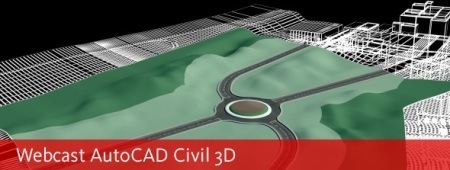
This Wednesday, April 15, 2009 will be a new Civil3D web cast on the management of topographic data among which includes data downloading, surfaces’ generation and cross sections.
To do this you need to sign in, have a respectable connection, and meet between 12 and 13.

Import, design and exportation of topographic data with AutoCAD Civil 3D
- Import data field from uprising.
- DTM Generation and longitudinal profiles.
- Earth’s Movements.
- Cross section and quantity calculation of terrain’s movement.
- Data export.
You can register here
 Autocad Software, Bentley Microstation, Gis Google Earth, Gis System Geomate Provides Services For Complete Gis Software And Solutions, Autocad Software, Autocad Courses, Bentley Microstation, Microstation Software, Gis Google Earth, Open Source Gis And More.