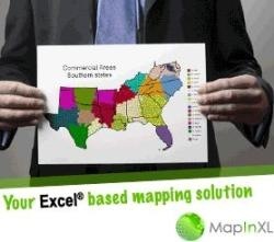
MapinXL is an application built by ARTICQUE oriented to office people who are not GIS experts but want to impress with colored maps.
We spend our lives trying to connect our maps to Excel, conscious that others can not be away from Microsoft solutions, and we’ve done a thousand ways of solving it, importing data, changing formats, creating data connections, publishing services, etc. Perhaps for this reason, the solution will seem us primitive in their functions, but the smoke (Spanish idiom: “fumada” in this case means: idea) of this design is based on the inverse from GIS (maps from Excel), and this is a great concept.
 Aimed for non-experts in GIS
Many successful businesses begin with simple solutions, for doing this; those who design these tools get into manager’s head who asks himself questions like:
- Why should I be asking for a map each time to a GIS expert?
- Why did he always send it too late?
- Why did it never miss a coloring error?
- Why did he convinced me to invest many thousands in a GIS development and I always take care to receive them in jpg format in my mail… and it weighs so much megabytes (Spanish Idiom: “megas”) that never comes?
The MapinXL corporate web design speaks for itself, it is made by marketing people for themselves.
In the Excel environment
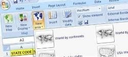
Something quite attractive for this application is that it is integrated as a new tab of Excel Ribbon; this is very intuitive because at this point all have become accustomed to this environment.
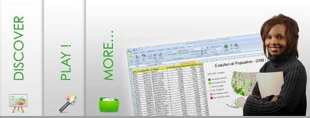
Things made by MapinXL are for users who want to generate painted maps for a presentation, retrieving an initiative that one day Excel had, but this time you can create new environments, edit tables, associate with other tables, underscore by criteria, finally becoming bright graphics.
A major constraint is to make new maps, because they use a strange format called vxf, which they only know how to generate. Some maps of countries and internal divisions can be downloaded for free, if someone needs a new map they can create it, but do not explain low conditions or price.

The added-value
The price is $ 99 per license, which can be purchased via Paypal. Not so bad for companies that could use it in the marketing area, with issues such as:
- Mapping of customers or suppliers
- Expansion plans
- Reports to investors and partners
For an executive who spent more than $ 700 in a Data show, $ 1,500 on a laptop, who traveled 200 miles to convince their investors that his millions are producing … it isn’t unreasonable to invest $ 99 on this toy and demand his pretty eyes secretary to add painted maps in the reports.
Solutions like this and Touche are the most practical I’ve seen for geomarketing.
Web: MapinXL
 Autocad Software, Bentley Microstation, Gis Google Earth, Gis System Geomate Provides Services For Complete Gis Software And Solutions, Autocad Software, Autocad Courses, Bentley Microstation, Microstation Software, Gis Google Earth, Open Source Gis And More.